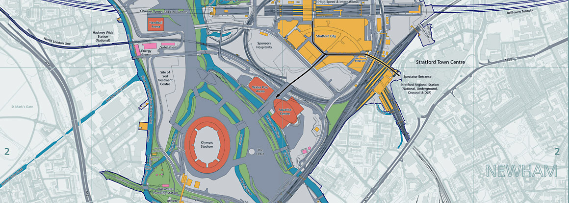
 Me-Me.com has recently taken part in a project with ICE.org.uk (Institution of Civil Engineers) and OS to deliver this interactive map showing the enormous engineering works that went into the London 2012 Olympic site.
Tag: OS – Ordnance Survey
As the national mapping agency of Great Britain. government, business and individuals rely on The Ordnance Survey to provide accurate and up-to-date geographic data.
Along with Partners, Ordnance Survey aim to be your content provider of choice for location-based information.


